The Appennines
 The higher tectonic units were formed on the bottom of the Liguria-Piedmont paleo-ocean (NW branch of the Tethys), and are mainly composed of ophiolites, with their sedimentary cover (dating back to the Giurassic-Middle Ecocene), and of episutural, syn-orogenic successions. This whole assemblage is thrust on to units which were deposed along the margins of the palaeo-ocean and the Adria plate’s boundary (Sub-ligurian units).
Ligurid and sub-Ligurids are thrust upon units belonging to the passive margin of the Adria plate (Toscan and Umbria-Marche units), which consist of triassic evaporites and mainly carbonatic, meso-cenozoic successions that, starting in the Upper Oligocene, have evolved to terrigenous sediments deposed beyond the trench, whose age gets younger toward the East, due to the migration of the range’s boundary.
The ERA, still in evolution, reached its present configuration between the Lower and the Middle Pleistocene, after rotation and migration toward the North-East that followed the opening of the Balearic Basin (Lower Miocene) and the Tyrrhenian Sea (Middle Miocene-present).
Since the Lower and Middle Pleistocene, rivers draining the newly-emerged mountain range have been filling the Po Basin.
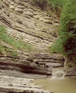
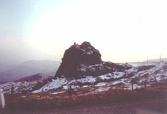
The Emilia-Romagna Region stretches from the Apenninic ridge to the Po River and the Adriatic Sea. Due to its morphologic and geologic complexity, the Region’s lansdcape is extremely various representing a touristic, naturalistic and scientific attraction.
 The Emilia-Romagna Apenninic Range forms the northern slope of the norther Apennine Range, whose backbone is composed of rocks dating back to the Middle Upper Triassic Period (about 230 ma ago), which formed on the bottom of an ancient ocean, named "Tethys", that subsequently, in the Upper Cretacous, started progressively closing under tremendous pressure deriving from the Plate Tectonics mechanism.
The closing of the ancient ocean generated a huge collision between the slowly moving European and African continents, which in turn led to the formation of the Alpine Range and, successively, of the Apenninic Range.
The compressive action exerted by the geodynamic forces, together with the influence of gravity, had the effect to deform and mould the rocks involved in the collision, fracturing them, crumpling them into folds and thrusting them over each other to form Alpine and Apenninic peaks.
The geodynamic causes which are responible for these deformations are still active in the Apenninic region, as the seismic activity over the regional territory (with maximum peaks in Romagna) clearly testifies.
Through the analysis of historical earthquakes and associate damages, and by means of geophysical surveys, it has been possible to classify 98 local administrations of our region as "2nd class seismic zones", i.e. areas subjected to earthquakes with macroseismic effects not smaller than the VIII degree of the MCS intensity scale.
