Masterplan on Geo-environmental Hazards
The "Masterplan" presents the general distribution of geo-environmental problems throughout the Emilia-Romagna region
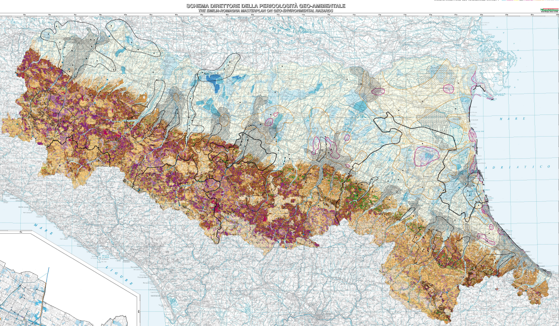
The "Masterplan on geo-environmental hazards" may be an effective instrument for identifying situations in which the monitoring of land use planning efficacy, and the region’s security policies efficiency, are most urgent.The wide range of information now available, especially as a result of the new geological maps for the region at a scale of 1:10,000 (which are an excellent source of uniform, high-quality data), allow such subject -and locality- specific maps to be realized. Sheet 1- Emilia-Romagna geo-environmental hazards
The Masterplan hence has two priorities: a synoptic presentation of the region’s geo-environmental state based on the studies of the last decades, and specific proposals with regards to elaborating either regional hazard scenarios, or subject-specific studies at varying scales of resolution.
The regional distributions of the types and degrees of hazard provide a first overview of priorities for further scientific observations, protective action, or corrective action and monitoring.
This synoptic overview also serves to present regional policies in
course. Thus priorities for local actions may be established, reprioritizing may take place, and new policies may be embarked upon-all in order to maintain “efficiency” in the region and to increase levels of safety.
The cartography for the entire Emilia-Romagna region, at a scale of 1:250,000, is graphically presented in two reference plates. The first map plate contains the geological and hydraulic hazard (Sheet 1).

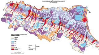
Sheet 2 _ Hydrogeological hazards in the Emilia-Romagna region
The second map plate (Sheet 2) deals with groundwater and addresses in particular risk-estimates of potential pollution (presented as hydrogeologic risk).
- Masterplan on geo-environmental hazards in the Emilia-Romagna region (PDF - 1,4 MB) (italian/english language)

