The heavy metal background maps of the Emilia-Romagna plain
Natural-Anthropogenic Background Maps of As, Cd, Cr, Cu, Pb, Ni, Sn, V, Zn of the Emilia-Romagna plain at 1:250.000 scale, 2nd edition (2019)
According to the Thematic Strategy for Soil Protection (COM/2006/0231) soil is regarded as non-renewable resource. In an environmental perspective, the Italian Law (D.lgs 152/06) considers soils as environmental matrix, like air and water. Soil also has several different functions and represents an essential support to human activities and to ecosystem survival.
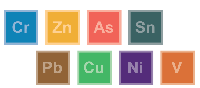
The Natural-Anthropogenic Background Map of Emilia Romagna plain at 1:250,000 scale, now in its second edition, represents the areal distribution of the background content (according to ISO 19258, 2005 definition) of nine potentially toxic metals in agricultural soils: Arsenic [As], Cadmium [Cd], Chromium[Cr], Nickel [Ni], Zinc [Zn], Copper [Cu], Lead [Pb], Vanadium [V] and Tin [Sn]. The concentrations of the nine metals in the soil were determined using aqua regia digestion (UNI/EN 13346:2002, method C) and analysed by ICP-MS (mass spectrometry) in accordance with EPA Method 6020. The analyses were carried out by the ARPAE (Regional Enviromental Protection Agency) laboratory in Ravenna.
It is a collaborative project between the National Centre of Research (CNR IBE, Florence) and the Geological, Soil and Seismic Survey of Emilia-Romagna.
The Natural-Anthropogenic Background Content constitutes a first assessment of the qualitative state of soils in terms of diffuse contamination and then provides a picture of the impact of the agricultural and environmental management.
Available maps
-
-
-
-
-
-
Papers
- Regional geochemical mapping of topsoil heavy metals: a scorpan Kriging approach conditional on soil map delineations and land use (PDF - 411,3 KB). 7th EUREGEO, vol.2, 2012, pp 662-663
- Experiences from 30 years of low-density geochemical mapping at the subcontinental to continental scale in Europe (2022)
- Heavy metals in agricultural soils of the European Union with implications for food safety (2016)
Links
Web mapping
- Soil Catalog of Emilia-Romagna
The website provides access to 1:50k soil map and point data (extension service soil analyses and shallow water table measurement sites). A selection of derived thematic maps is available as well. It’s possible to draw plots, to identify a soil type using a tool and to calculate the fertilisation plans. It is especially aimed at users in the agricoltural sector. - Soil maps of Emilia-Romagna
- Soils of Emilia-Romagna
- Minerva Portal
It's possible to query and download metadata and data in open data format (shapefiles, rasters, WMS, CSV and TXT tables).
It is a webgis site that contains all published maps (soils maps and derived maps), as well as some point layers (Extension Service soil analyses, heavy metal analyses, shallow groundwater network stations). It allows simultaneous consultation of multiple layers. Many aerial flight/satellite images from 1944 to 2023 are available. It is especially aimed at users in the environmental and educational sectors.
It is an easy-to-use site that describes the main features of the region's soils and landscapes. Through Google Earth, it makes available the cartography of Emilia-Romagna soils at different scales (from scale 1:1,000,000 up to maps of farm soils). In the "Thematic Maps" section, it is also possible to consult application maps (e.g., use capacity, natural anthropic background of heavy metals) and maps of the chemical-physical properties of soils (e.g., organic C content, natural background of heavy metals, texture, pH, salinity).
Contact us
Geological, Soil and Seismic Survey