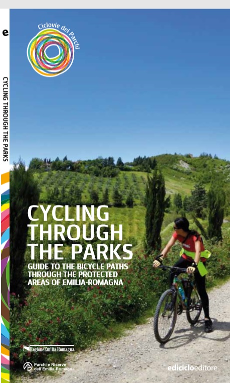
The guide "Ciclovie dei Parchi"
A guide to the cycling routes in the Emilia-Romagna protected areas

This guide, written by Sandro Bassi, describes the 10 cycling routes belonging to the project.
It’s divided into two sections: an introduction and a specific description of each route. For each ciclovia a specific cartography was created, complete with all the interest points existing along the route and all the topographic elements useful for the orienteering. A technical data sheet summarizes the main practical features of the route (length, gradient, level of difficulty, riding time, interest points, useful contacts) and it is complete with an elevation profile showing the main distances and gradients; a text describing the route, that includes the indication on how to reach the protected area from the nearest railway station, the detailed description of the path inside the protected area, the “must-see” locations that represent an opportunity for a stop along or after the trip and that hold high cultural interest, and the illustration of all the characteristics of the protected area with all the specific the naturalistic assets.
The guide, printed in Italian and in English, is available for purchase for 13€ at the Regional Cartographic Archive, at the protected areas visitor centers and at the main bookshops.
