8. LAGO SANTO MODENESE - ABETONE
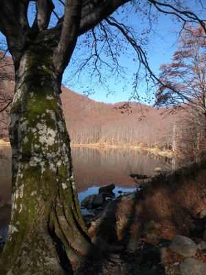
Lago Santo modenese (1501 m)
Abetone (La Consuma, 1340 m)
GRADIENT: +960 m / -1120 m
HIKING TIME: 7 hours
High Modena Apennine Regional Park
Though this is a fascinating stage in terms of environment and landscape, it is a little spoiled by the ski facilities of Val di Luce. In the valley of Sestaione one goes through the most beautiful forest along the Alta Via up to this point.
From the shores of Lake Santo one follows the easy mule track that quickly climbs to Lake Baccio, at the foot of a wonderful glacial valley over which loom the cliffs of the Altaretto’s ridge.
The high mountain environment accompanies the ascent to the Passetto (1850 m), an aerial incision of the ridge below the top of Mount Rondinaio, which one skirts on the Tuscan side, with a few exposed passages.
Returning to the ridge, the trail crosses the head of the Valley Tagliole, passing over the tiny Lakes Torbido and Turchino before reaching Foce a Giovo, a pass crossed by the nineteenth century road called “Strada del Duca”, where a small chapel can serve as a temporary shelter.
Another crossing halfway up the slope on the Emilian side, leads to Annibale Pass, surmounted by a ruined building. The view opens over the valley of the Rio delle Pozze, renamed Val di Luce. The ski facilities go up to the top of Alpe delle Tre Potenze; the works of man have had a significant effect on the valley.
Lake Piatto is located right below a chair lift; shortly afterwards one meets the della Vecchia Pass. From here the straightest way is to follow the exposed ridge until Mount Gomito and then descend to Abetone. It’s much better to follow a different route, descending from the pass to the shores of the splendid Lake Nero, where the refuge is always open.
The mountainside descent into the Sestaione valley crosses forest habitats of rare and primeval beauty, with gigantic beeches and fir trees, and rocks encrusted with moss and lichens. Now in view of the Val di Lima, one crosses a forest road that comfortably leads to Consuma, a place about one kilometre away from the center of Abetone.
The renowned ski and touristic resort is a municipality and is located on the pass of the same name. It was once called Boscolungo, the name of a nearby forest. The road that goes from Modena to Lucca passes through Abetone; it was completed in 1781, then being the first modern carriage road to cross the northern Apennines.
Stage Locations and Services
In some areas it is possible to spend the night in a tent, setting it up at sunset and dismantling it at dawn.
Interactive cartography
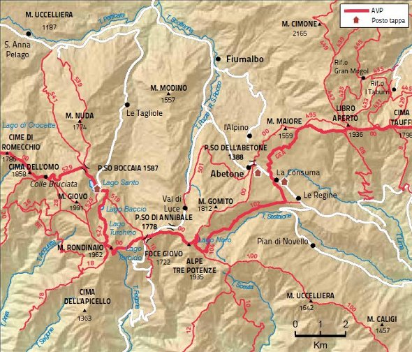
Map