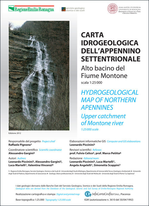
Hydrogeological map of northern Apennines – Upper catchment of Montone river
Volume of illustrative notes (italian language) + the Map in scale 1:25.000 (english and italian language)

Description:
Volume of illustrative notes (italian language) + the Map in scale 1:250.000 (english and italian language)
Abstract:
This scientific monograph deals with the description of a hydrogeological pilot-survey aiming to propose a mapping methodology, for characterization and protection of groundwater resources, suited for turbiditic hard rock aquifers, typical of Northern Apennines. The selected test site is the upper sector of Montone river catchment (Emilia-Romagna region, northern Italy) close to the main apenninic divide and the border with Tuscany region.
The research has been funded by Geologic, Seismic and Soil Survey of Emilia-Romagna Region and conducted by applied hydrogeologists working for universities (Ferrara, Bologna, Padua) or as private consultants. The printing of this volume, with the attached map, has been jointly funded by the Geologic, Seismic and Soil Survey of Emilia-Romagna Region and by Alma Mater Studiorum University of Bologna.
Publisher:
Emilia-Romagna Region - Geological Seismic e and Soil Area
Authors:
Leonardo Piccinini, Alessandro Gargini, Luca Martelli, Valentina Vincenzi
Year of publication:
2012
Price:
Free at Archivio Cartografico Regione Emilia-Romagna
Info:
phone: +39 051-5274792
send an e-mail
