
Geological heritage
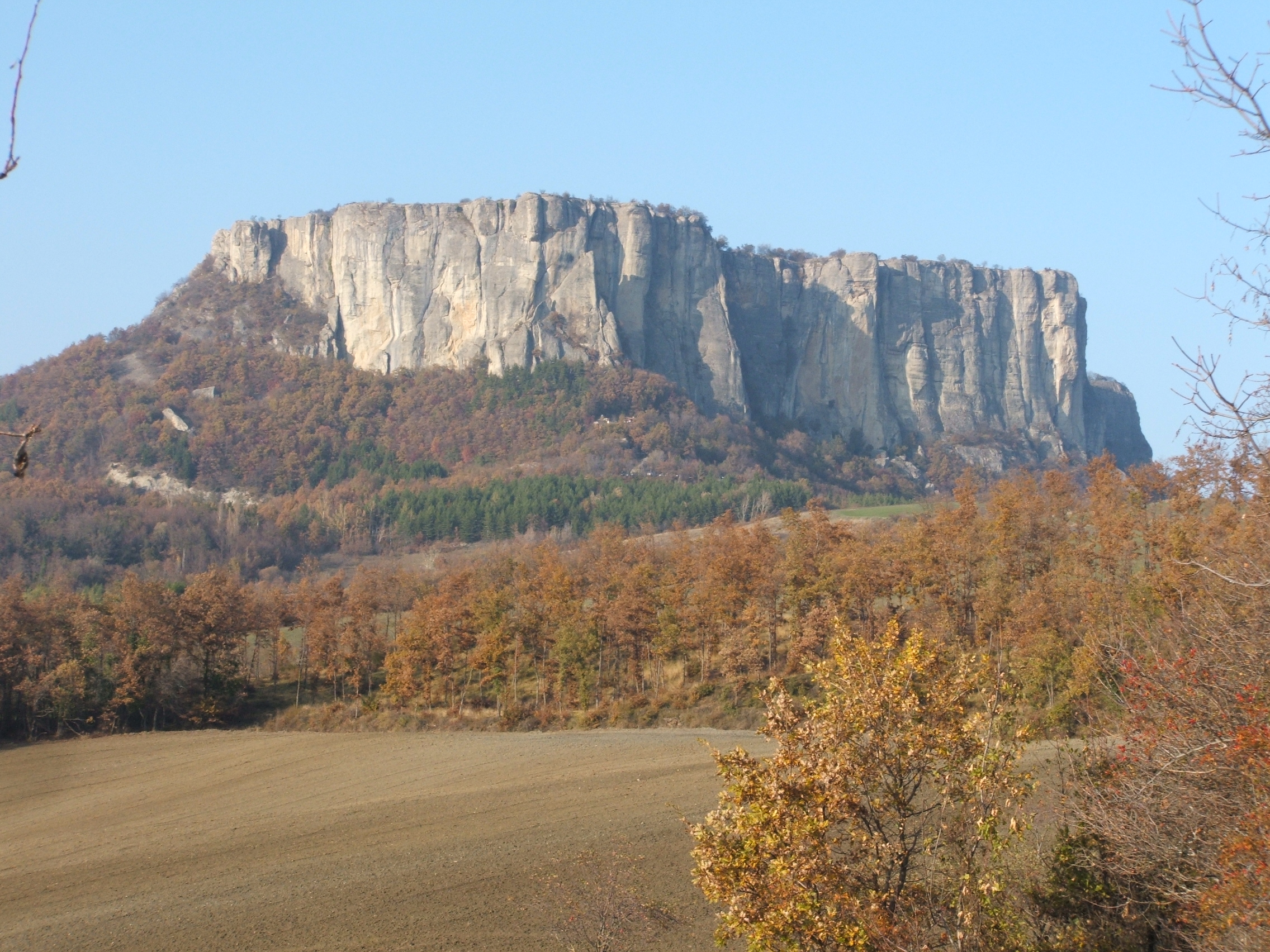
Geological heritage is the basic element of the landscape and it often has strong links with other elements of the territory like history, agriculture, environmental protection and so on. An important link is undoubtedly with the environmental protection metter because the most part of the protected areas of the Emilia-Romagna Region, as well as the sites of natura 2000 network (with their habitats), are principally founded above peculiar geological features. Consequently, a lot of geological heritage elements are included into these important naturalistic sites;
For these reasons, Emilia-Romagna Region decided to strengthen the territorial dimension of the ongoing outreach programme, linking the aspects mentioned above, to the census of the Emilia-Romagna geological heritage. The census is a scientific project that has been carried out starting from data collected over more than 25 years of regional geological mapping (1:10.000 to 1:25.000 scale). A digital database stores all the information about the “regional sites of geological interest” (more than 700 to date) facilitating the production of innovative geological maps and other products.
In 2006 Emilia-Romagna regional authority introduced a legislation (Regional Law n°9/2006) intended to safeguard and valorize regional geodiversity identified through the above census. This legislation acknowledges that it is in the public interest to safeguard, manage and valorize Emilia-Romagna’s geodiversity as well as the geological heritage associated with the latter, since these are of inherent scientific, environmental, cultural and touristic-recreational value. The objective is therefore to promote awareness, sustainable public access and use of sites, educational use of places of geological interest, caves and geological landscapes and to support those groups and individuals (associations, voluntary groups, regional professionals, universities, etc.) who, together with the general public, help achieve these objectives.The Emilia-Romagna Region fournished all the data collected in the census to the province administrations, who can use them for town-and-country planning.
In addition to the census, and with a view to ultimately producing simplified geological maps for non-geologist users, has been completed the Emilia-Romagna Geological Landscape Map, 1:250.000 scale . This map emphasizes the strong relationship between geology and landscape, showing how different rocks produce different features and different behaviour of the territory.
Contact us
Geological seismic and soil Area
Alberto Martini
For database and census of natural cavities
Maria Carla Centineo
For dissemination of geological knowledge