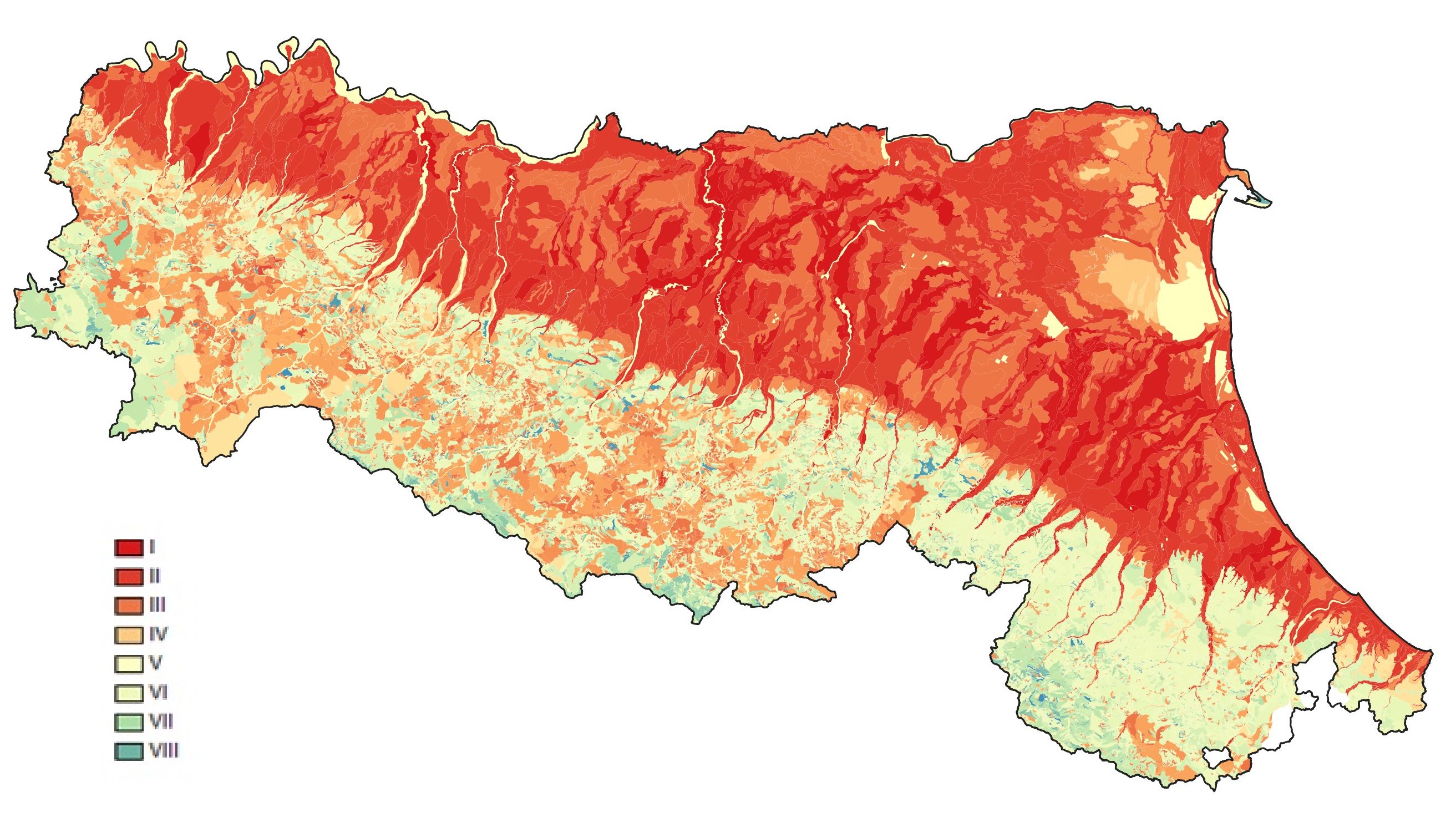
Land Capability
Assessing the capacity of soils to produce crops and forests over long periods of time
The Land Capabilty Map assess the capacity of agricultural e forestry soils to produce over long periods of time without soil degradation occurring. It takes into account soils, climate and landscape.
The map creates the premise for a correct choice of land planning and management, closer to the natural balance of the environment and therefore less in need of human intervention (lower costs) and with the greatest possible productive efficiency.
The method used for the assignment of the different soil types to the land use capability classes refers to a regional schema that uses the Land Capability Classification Scheme of the U.S.D.A. (U.S., Klingebiel and Montgomery, 1961) as a basic reference.
The 2021 edition covers the entire region and consists of 102 classes.

Land capability map. Vector layer DOWNLOAD
Web mapping
- Soil maps of Emilia-Romagna
- Soils of Emilia-Romagna
- Minerva Portal
It's possible to query and download metadata and data in open data format (shapefiles, TIFF, WMS, CSV and TXT tables).
It is a webgis site that contains all published maps (soils maps and derived maps), as well as some point layers (Extension Service soil analyses, heavy metal analyses, shallow groundwater network stations). It allows simultaneous consultation of multiple layers. Many aerial/satellite images from 1954 to 2023 are available. It is especially aimed at users in the environmental and educational sectors.
It is an easy-to-use site that describes the main features of the region's soils and landscapes. Through Google Earth, it makes available the cartography of Emilia-Romagna soils at different scales (from scale 1:1,000,000 up to maps of farm soils). In the "Thematic Maps" section, it is also possible to consult application maps (e.g., use capacity, natural anthropic background of heavy metals) and maps of the chemical-physical properties of soils (e.g., organic C content, natural background of heavy metals, texture, pH, salinity).
Area Geologia, Suoli e Sismica
