
Ciclovia dei Gessi di Gaibola
Gessi Bolognesi and Calanchi dell’Abbadessa Regional Park
This is a relatively short foothill itinerary with climbs that should not be underestimated.
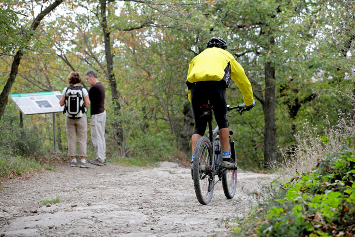
After departing in an urban environment you reach the gates of the park, characterised by an uncommon rock, the Gypsum, and the related karst environments shaped by dolines (large funnel-shaped hollows, which host the classic swallow-hole cave on the bottom), groves, formerly cultivated fields and small cliffs. There is also the river environment, represented by poplars, willows and black alder, with undergrowth mainly of cornelian cherry, elder, field maple, and common dogwood.
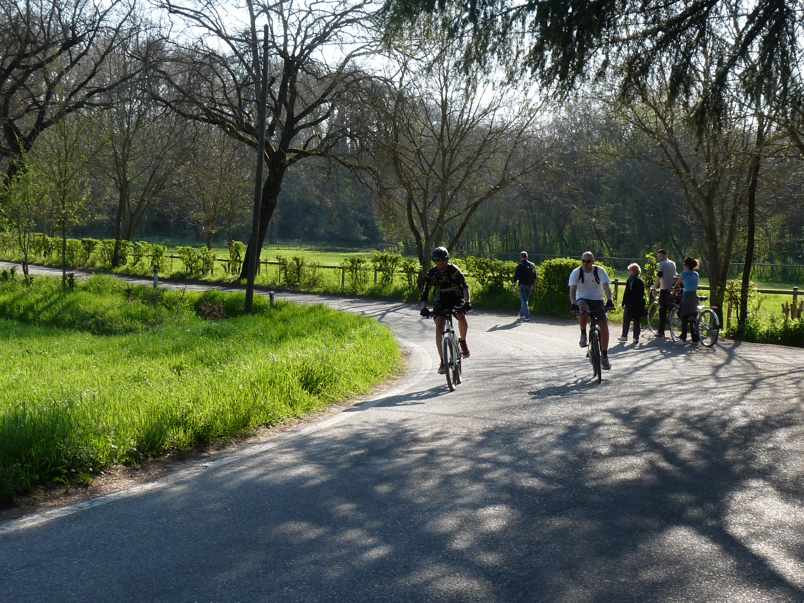
The ring route can be reached from the railway stations of either San Lazzaro or Ozzano. From Pizzocalvo, that includes the homonymous church, you head southwards and at the first intersection you can detour, optionally, to cross the WWF Molino Grande River Oasis, on the Idice Stream. Otherwise you climb up directly toward Gaibola, on a steep and soon unpaved road that reaches the karst environment of the Gessi, riddled with dolines. The terrain here is forest-covered with spectacular spring blooms of geophytes (snowdrops, scilla, dogtooth violet). After skirting the large dolines of the Buche di Gaibola, and then of Ronzana and Inferno, you reach the asphalted via dell’Eremo, which shortly after, to the right, leads you to the bottom of the valley Zena. The route passes the park visitor centre “Luigi Fantini” and the nearby Cave of Farneto, that holds a great historical and archaeological interest, as well as educational and touristic significance nowadays. After this, you reach the hamlet of La Cicogna, from where you can either take the bike path that goes back towards the railway station of San Lazzaro or continue riding along via Palazzetti and return to the railway station of Ozzano.
THE OTHER CICLOVIE -->
ELEVATION PROFILE
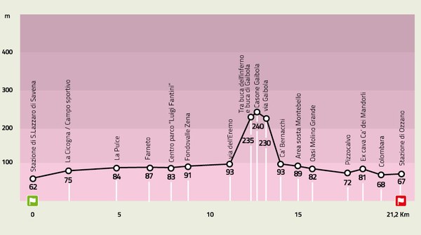
Download the elevation profile (JPEG - 138,1 KB)
CARTOGRAPHY
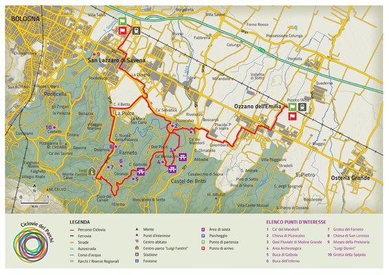
Download the map of the route (PDF - 1,2 MB)