Ciclovia di Monteveglio
Abbazia di Monteveglio Regional Park
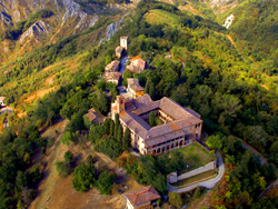
This is a hill itinerary with some gradients, but it’s easy (it’s all on asphalt) and in an ideal environment made of groves interspersed with fields and, in some areas, with badlands. Hub and heart of the park and of the excursion, is the Abbey of Santa Maria di Monteveglio, which provides the protected area with its name and identity. It is a Romanesque church, which still retains the original architecture (even if the restoration works carried out between 1927 and 1931 included some arbitrary reconstruction). With its mass of red brick, its surrounding cypresses and its picturesque location at the end of a quiet hamlet, the abbey also has an unquestionable landscape value.
The route starts from Bazzano railway station and, after crossing the historic centre of town (with the Rocca and its museum, rich with archaeological finds, a real must), you arrive at the boundaries of the park though secondary roads. The bike path bypasses the village of Monteveglio and then you reach the abbey through a short but intense climb. The abbey is worth visiting for its interesting historical, architectural and environmental features.
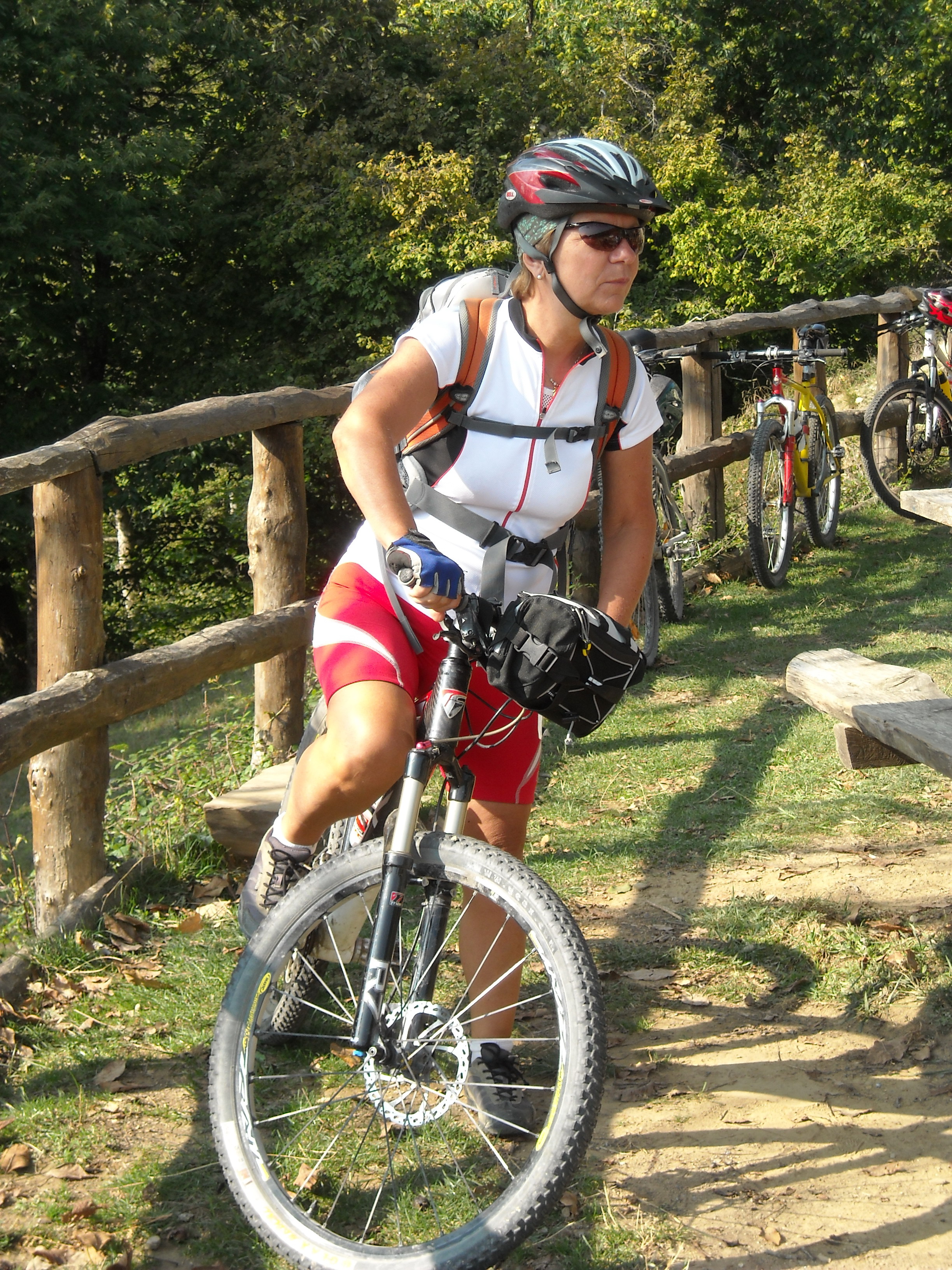
After descending along via Abbazia to the park visitor centre, located in the beautiful San Teodoro meadows at the gates of the new part of Monteveglio, you’ll get back on the route, that first runs parallel to the stream Ghiara of Serravalle and then climbs on the southern side of the park along paved roads with very poor local traffic, and in a pleasant country setting. The climb ends in the vicinity of the great divide between the valley of the Rio Paraviere and the valley of the Rio Marzatore at about 300 metres above sea level, from where you’ll start riding downhill among mixed broad-leaved woods (oak, hornbeam, maple) and small orchards with cherry and walnut trees.
After reaching Tagliolina you ride along the shady valley bottom of Rio Marzatore, thus closing the ring a couple of kilometres from Bazzano.
THE OTHER CICLOVIE -->
ELEVATION PROFILE
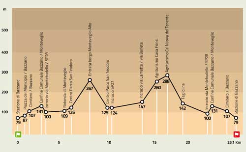
Download the elevation profile (JPEG - 201,2 KB)
CARTOGRAPHY
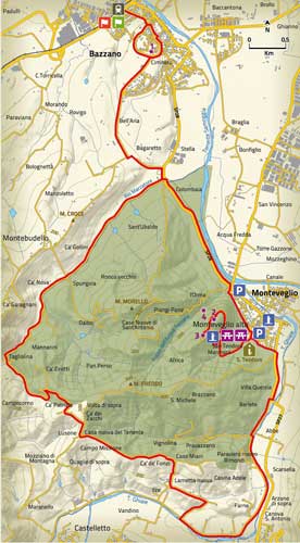
Download the map of the route (JPEG - 1,6 MB)
