Ciclovia del Trebbia
Trebbia Fluvial Regional Park


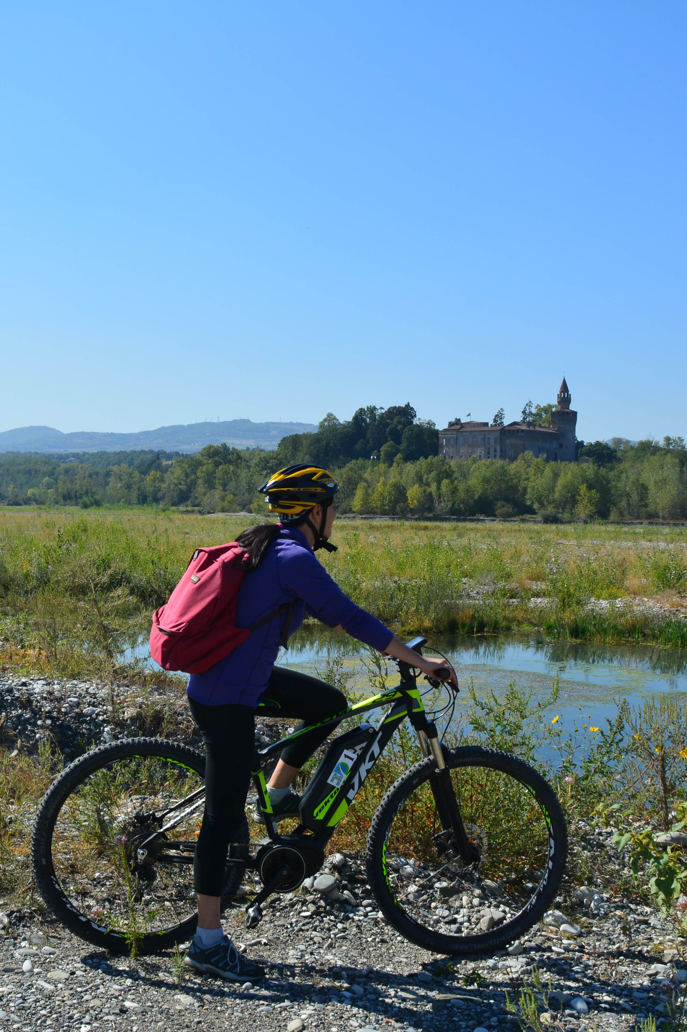
The Trebbia cycle route is characterized by a considerable diversity of environments.
It starts from the urban one in the historic centre of Piacenza: after leaving the train station you cycle along cobbled streets, mostly pedestrianised, among Romanesque churches and lively squares.
Exit in a southerly direction, crossing the outskirts on a protected cycle path. Once in Gossolengo, after one km we leave the provincial road at the first junction on the right for La Rossia (naturalistic area of the Park with teaching room) where the dirt road suitable for mtb starts.
We continue, among shady stretches, to Case Buschi where we leave the gravel bed to go inside and the view of the bell tower of the Church of S. Patrizio indicates the arrival in Roveleto Landi, which we will ride on a bike path in its own place.
We continue, on a dirt road embellished by the new cycle/pedestrian bridge over the Rio Cassa, to the gates of Pieve Dugliara where a detour to the right downhill takes us back to the river.
You arrive at Rivergaro on a cart road and proceed along the long Trebbia in a pedestrianised area with playgrounds, refreshment areas, a fountain and the Pro Loco premises, which mark the end of the outward route.
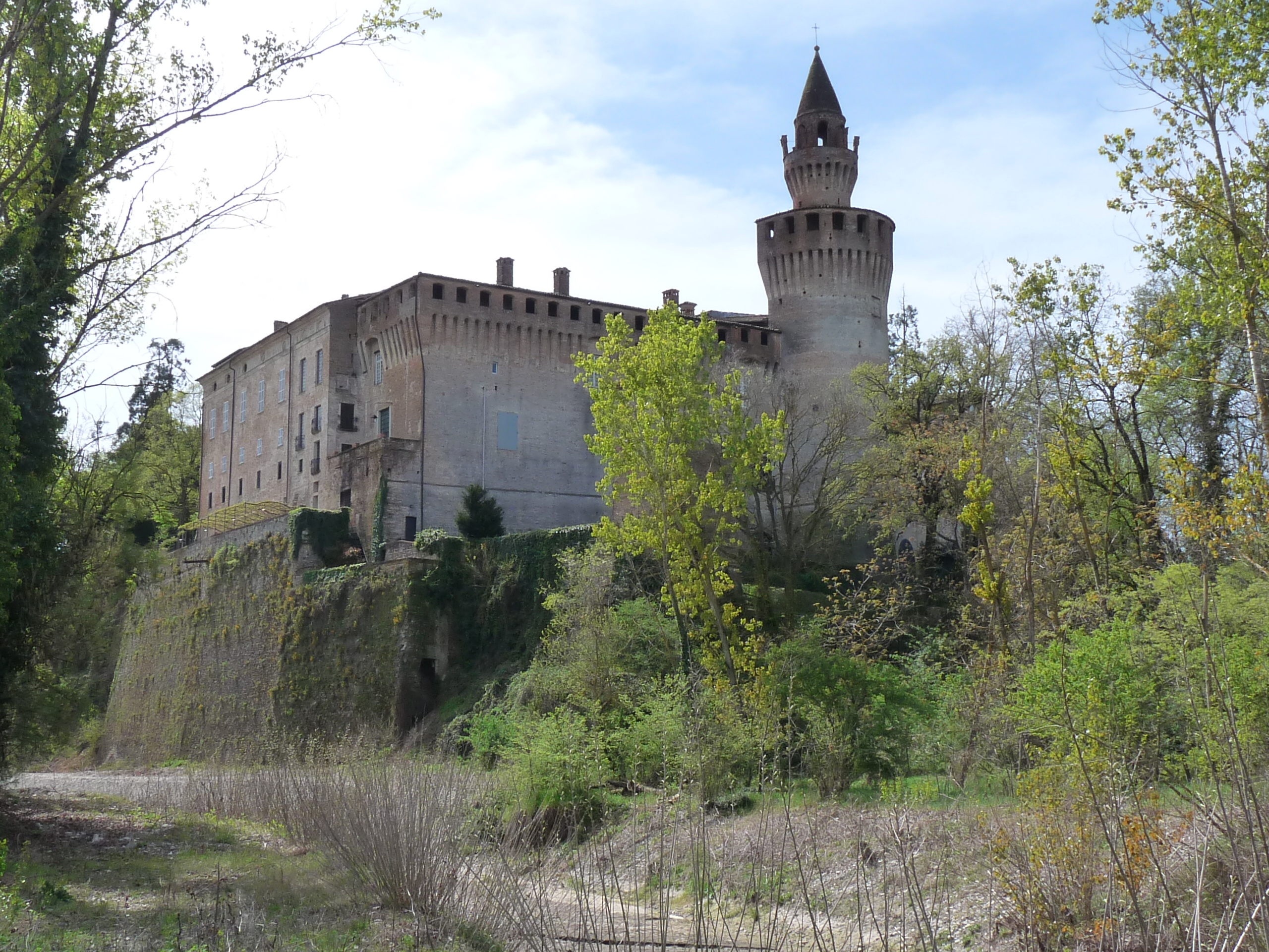
The return follows the same outward route as far as Case Buschi, where you can choose to continue on asphalt towards Molinazzo di Sopra and cross the Trebbia on the Ponte di Tuna bridge to reach the part of the cycle track on the left bank towards Rivalta Castle, or continue on the same outward route on dirt road as far as La Rossia and then on the SP28 road as far as Piacenza.
For those going to the left bank, on the return, after the Tuna Bridge, we suggest to continue on the SP28 to Gossolengo and then Piacenza.
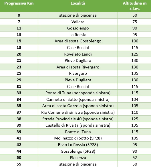
NB: Please note that the route has been modified compared to the one in the guide, here the descriptive text, the technical data sheet and the altimetric scheme have been updated, the map is missing.
TECHNICAL DATA SHEET
- protected area: regional river park of the river Trebbia
- length: about 50 km round trip
- height difference: 80 m
- travel time: one day
- degree of difficulty: low to medium. Mixed route: asphalt, gravel, dirt road. Most of the route can also be covered by city bike, but to cover the whole route you need mountain bikes for the unpaved sections.
- information: Management Body for Parks and Biodiversity Western Emilia (Parks of the Duchy)
Strada Giarola, 11 - Collecchio (PR)
Tel. (+39) 0521802688
info.trebbia@parchiemiliaoccidentale.it
www.parchidelducato.it
ELEVATION PROFILE

